What Lies Beneath: Geophysical Investigations of Reclaimed Minelands in Nanticoke, PA to Inform Further Restoration and Redevelopment
Presenter
Bobak Karimi, PhD
Associate Professor of Geology
Director of the Center for Geographic Information Science
Dept. of Biology & Earth Systems Science
Wilkes University
PCPG will circulate a PDH certificate documenting registrant’s participation time, not to exceed 60 minutes, within 72 hours of the conclusion of the webinar.
Level: Intermediate to Advanced
Who should attend: Geologists, Environmental Scientists, and anyone interested in learning a bit of geophysics and how it can be applied to address geo-environmental issues.
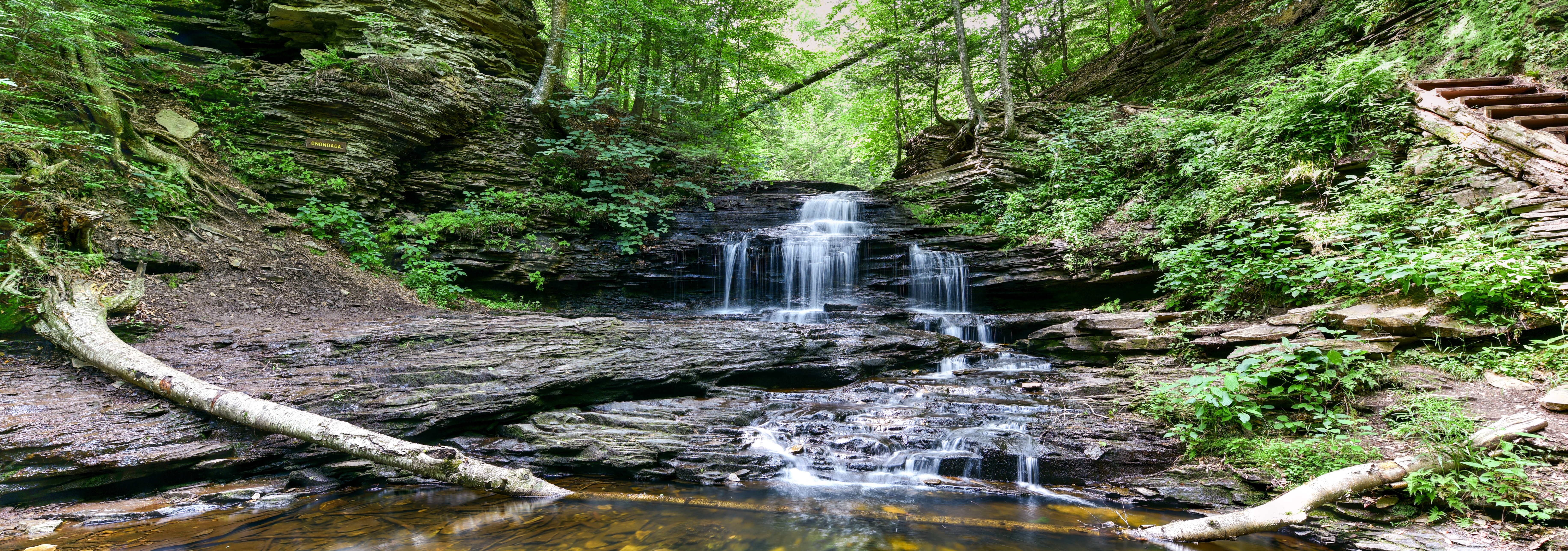
Webinar Overview: The Wyoming Valley has a long history of anthracite coal mining and this has led to a legacy of environmental impacts, such as altered stream flows, abandoned mine drainage (AMD), and sinkhole hazards. The Earth Conservancy works to revitalize the economy and environment of the Wyoming Valley through reclamation, restoration, and redevelopment of mine-scarred sites and impacted watersheds of nearly 16,500 acres – the former holdings of the Blue Coal Corporation. One such reclamation site is near the town of Nanticoke, PA, where the Nanticoke Creek, has been heavily altered by past coal mining operations. Waters of the creek flow into the subsurface through fractures in the bedrock, and interact with mine pools, likely resurfacing downstream at the Askam Borehole as AMD. However, the exact location of these fractures and the prominent flow pathways, to and through the mine pools, are unknown - thus complicating the areas restoration efforts. While surface investigations are traditionally used to inform methods of rehabilitation, geophysical methods can greatly inform decision-making and allow for more sustainable solutions. This presentation presents the relevant background and application of two geophysical methods to assist restoration efforts: (1) electrical surveying to understand fracture flow pathways into mine pools, and (2) gravity surveying to understand the structure of possible flow pathways through mine pools to the expected discharge location.
About our presenter: Dr. Karimi is an Associate Professor of Geology in the Biology & Earth Systems Science department at Wilkes University. His primary research interests include Tectonics, Structural Geology, Geophysics, Geographic Information Systems (GIS), and Remote Sensing (RS). Currently, his research is focused on the use of his skills in addressing tectonic and environmental issues, particularly in Eastern PA. He serves as the directors of the Geology Field Camp and Center for Geographic Information Sciences at Wilkes University, and is a board member of Keystone GIS, also serving as a co-coordinator for the PA GIS Conference.
Please read: After registering on our site you'll receive a PCPG confirmation email indicating Action Required in the subject line. Your registration is not complete until you click through the unique link in that email directing you to the GoToWebinar web site, enter your name, email address, consent to terms and conditions, and click the Register button. Check your spam filter if you do not see the PCPG 'Action Required' email within 60 seconds of registering, here; or ask IT to release the Email. If you use Gmail, our system workflow emails are received into some other Gmail folder. Please check all Gmail folders and white-list @pcpg.org emails.