2021 Rock Slide Investigation Along US 340 in Harper’s Ferry, West Virginia (33 PDH Mins.)
Description
Recorded April 14, 2021
Level: Intermediate
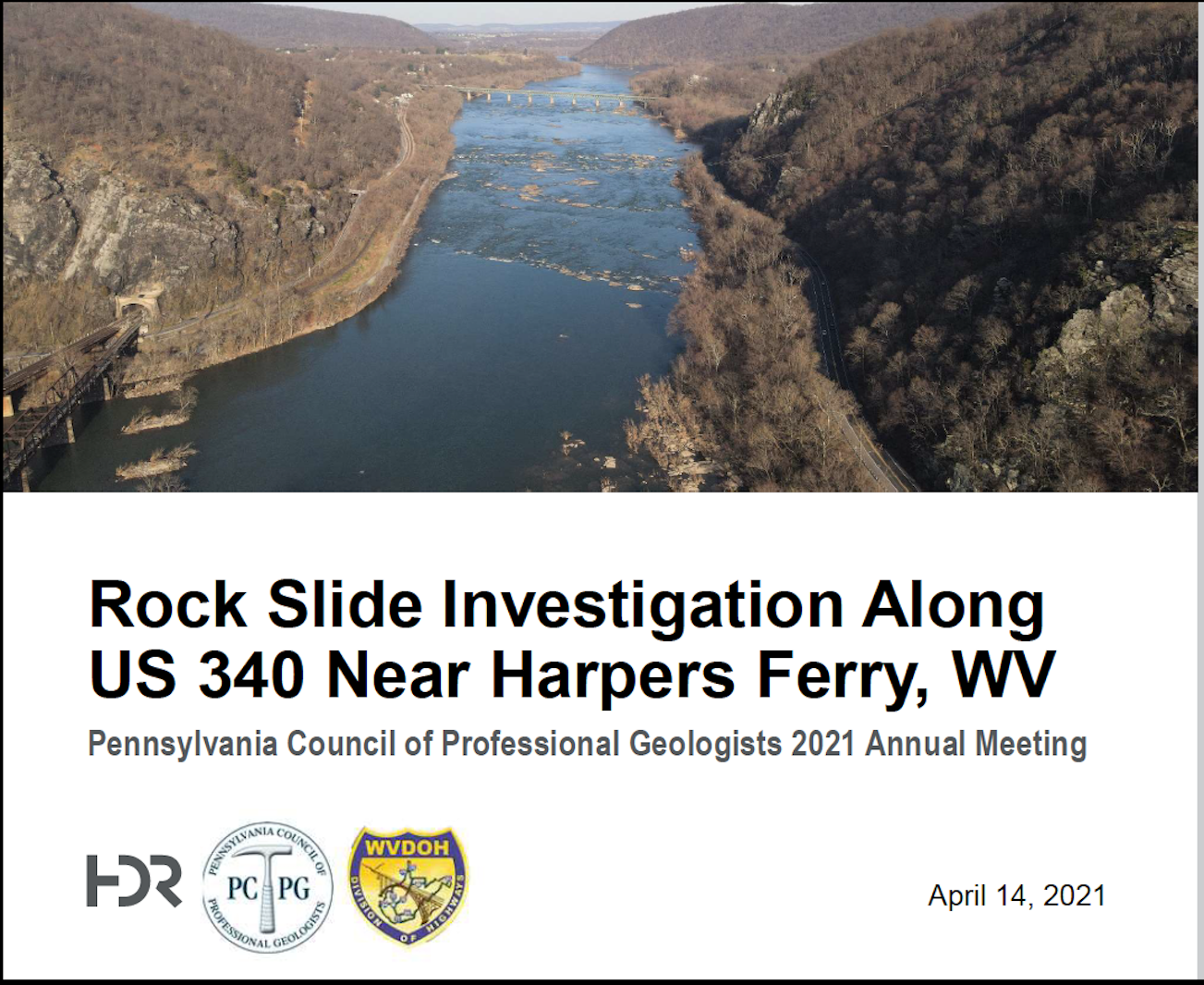
US-340 is a high traffic volume, two-lane roadway (greater than 30,000 vehicles per day) that meanders along the Blue Ridge Mountains and the Shenandoah and Potomac Rivers water gap between Harper’s Ferry, WV, and the West Virginia – Virginia state line. The cut slopes and the exposed natural rock slopes of the mountain vary in elevation from 280 feet to 900 feet, which is 150 to greater than 600 feet above the roadway. This design study included a geologic evaluation and preliminary rockfall remediation design for three slopes adjacent to US-340 NB between Chestnut Hill Road (CR-32) and Harpers Ferry Road (VA-671).
The slope investigations included roadway-level and upper-slope geologic and slope evaluations, as well as mobile and aerial LiDAR mapping. Upper-slope investigations included detouring traffic in the project area, and rappelling technicians down to the slope in order to evaluate specific locations. The results of the slope analyses require various treatments to be implemented for the project due to the highly variable geometry of the slope. On slope treatments such as attenuator barriers and roadway level treatments such as rockfall fences are recommended to mitigate the rockfall potential. The safety for vehicular traffic in the Harper’s Ferry area is of utmost concern and the recommended slope treatments have been developed to prevent future rockfall events.
Presenter: David Crotsley, P.G. - David is a Senior Geologist for HDR’s Mechanicsburg Office. His industry experience includes over 13 years, and includes performing work throughout the US. He is a licensed Professional Geologist in the Commonwealth of Pennsylvania and the state of Alaska. David has extensive experience in rock slope design, slope stability, foundation design, and cold weather design.


